Guernsey in this period
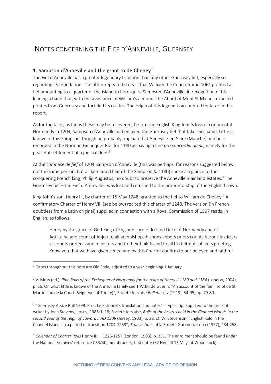
Modern Guernsey increasingly records land through maps, surveys and the Cadastre, allowing older fief boundaries to be compared with the contemporary island.

Before Guernsey — a Crown island in the Channel with Norman customs — appeared on any map, its fiefs were written down as lists. A fief, in this setting, was a lordship: an area of land whose tenants owed the lord yearly dues in wheat, hens or money. The list was called a perchage, a walk over the ground plot by plot, naming each field, its tenant and what he paid. The book that held it, the Livre de Perchage, was the fief's memory. When the book was lost, the fief forgot what it owned.
The book for the Villain Fief d'Anneville survives in the Andros papers at the Priaulx Library, a library in St Peter Port, Guernsey, founded on a local collection of island records and books. 'Villain' here is an old legal word for the fief's ordinary rent-paying land, not an insult. The book was made in 1594, parcel by parcel, tenant by tenant, each entry ending with the rente, the yearly rent due. On 21 June 1662 the Seigneur d'Anneville, the lord of the fief, summoned the douzeniers, the elected men of the parish, to make the perchage again. The book of 1663 followed, with extracts that run on to 1829.
William Berry, an English writer compiling his History of the Island of Guernsey in 1815, read these books and saw a living institution. The manor of Anneville, he wrote, consists of seventeen bouvees of land — a bouvee being an old measure of area — about three hundred and eighty-four Guernsey vergees, a vergee being a local land measure of roughly two-fifths of an English acre, with perches as smaller units still. The land was divided among twenty-seven tenants. Around it lay its dependencies: Fauville, two hundred and sixty-three vergees and five perches among eleven tenants; the little fief Bouilleuze, twenty-three vergees between two tenants; and La Rozière, of some two hundred and fifty vergees, whose exact extent nobody knew, for want of a livre percharge.
Once a year the fief came together. The lord held a court yearly at Michaelmas, the autumn church festival at the end of September, with its usual officers — the presiding seneschal, the sitting vavasors, the recording clerk and the provost who carried out orders. Every tenant had to appear and answer to his name as the clerk called it over. Absence cost five sols tournois, French coins of small value, the first and second time; the third time the tenant's lands were seized for the lord and kept for a year. Each new tenant was enrolled with his land, for a fine of five sols, be the land great or small.
Berry also set down what the land paid. For Anneville alone: twenty-seven quarters of wheat, small measure — a quarter being a grain measure, and 'small measure' a local, smaller standard of it — and the twelfth sheaf of every kind of grain grown on the manor, called champart; and from every house on the manor a couple of fowls, the poulage. The small fief of Croûte Bouilleuze owed twenty-four sols tournois, four loaves of bread, four capons, and eighty eggs. These were not debts of the fief; they were its income, paid yearly by those who held its land. In 1787 the Duke of Richmond, Master-General of the Ordnance, the office in charge of the army's artillery and surveying, mapped the island with the instruments of a new age, and the modern Cadastre — the official register and map of every holding — came after him. The maps show where a field lies; the old books show who held it and what he gave. Where the two disagree, this room shows both.
About these lines: a narrative reconstruction written in the manner of C. Northcote Parkinson (1909–1993), Seigneur of the Fief d'Anneville from 1964 to 1987, historian, and author of the novels of Richard Delancey, a Guernsey sailor. Parkinson did not write them and they are not a historical source. They invent no characters and no speeches: every fact comes from the room above, and words in quotation marks are quoted from the documents cited there.
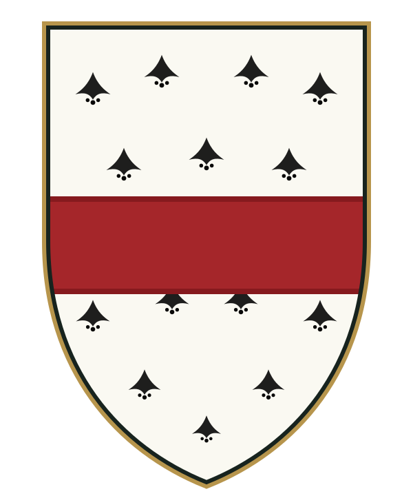 Arms associated with Anneville: ermine, a fess gules
Before anyone drew Guernsey on a map, its fiefs were written down as lists. A perchage walked the ground plot by plot, naming each field, its tenant and what he paid. The book that held it, the Livre de Perchage, was the fief's memory: when it was lost, the fief forgot.
The Andros papers at the Priaulx Library keep such a book for the Villain Fief d'Anneville, made in 1594, parcel by parcel, tenant by tenant, each entry ending with the rente due. On 21 June 1662 the Seigneur d'Anneville summoned the douzeniers, the elected men of the parish, to make the perchage again (AQ 0012/10-06). The book of 1663 followed, with extracts that run on to 1829 (AQ 0096/03-02).
William Berry, writing his History of the Island of Guernsey in 1815, read these books and saw a living institution. The manor of Anneville, he wrote, "consists of seventeen bouvees of land, containing about three hundred and eighty-four Guernsey vergees, divided, according to the last survey, among twenty-seven tenants." Around it lay its dependencies: Fauville, "two hundred and sixty-three vergees, five perches, divided among eleven tenants"; the little fief Bouilleuze, "twenty-three vergees, fourteen perches, divided between two tenants"; and La Rozière, of some two hundred and fifty vergees, whose exact extent nobody knew "for want of a book of measurement, or, as it is called a livre percharge."
Once a year the fief came together. "The lord holds a court yearly at Michaelmas, composed of a seneschal, three vavasors, a clerk or greffier, and a provost." Every tenant had to "appear and answer to their names, as they are called over by the clerk". Absence cost five sols tournois the first and second time; the third time "their lands are seized for the lord, and kept in his possession for one year." Each new tenant was enrolled with his land, "for which he pays a fine of only five sols tournois, be the quantity of land great or small."
Berry also set down what the land paid. For Anneville alone, "twenty-seven quarters of wheat, small measure, and the twelfth sheaf of every species of grain grown on the manor, which twelfth sheaf is called champart", and from "every house situate on the manor" a couple of fowls, the poulage. The small fief of Croûte Bouilleuze owed "twenty-four sols tournois, four loaves of bread, four capons, and eighty eggs." These were not debts of the fief: they were its income, paid every year by those who held its land.
In 1787 the Duke of Richmond surveyed the island with the instruments of a new age, and the modern Cadastre came after him. The maps show where a field lies; the old books show who held it and what he gave. Where the two disagree, this room shows both.
W. Berry, The History of the Island of Guernsey (London, 1815), pp. 124-126 (Internet Archive 10225027bsb); Andros MSS, Priaulx Library; AQ 0012/10-06; AQ 0096/03-02.The words of this room are Norman words. The champart is the lord's portion of the harvest; the bouvée is a measure of land and of the dues it carries; the perchage measures each field by the perch; the Prévôt summons and collects. They come from the feudal custom of Normandy, and they are still written in the fief papers of the twentieth century.
Modern Guernsey increasingly records land through maps, surveys and the Cadastre, allowing older fief boundaries to be compared with the contemporary island.
Anneville’s maps turn a difficult legal history into visible geography. They support heritage education, archival research and a clearer public understanding of how Norman institutions shaped the landscape of Guernsey.
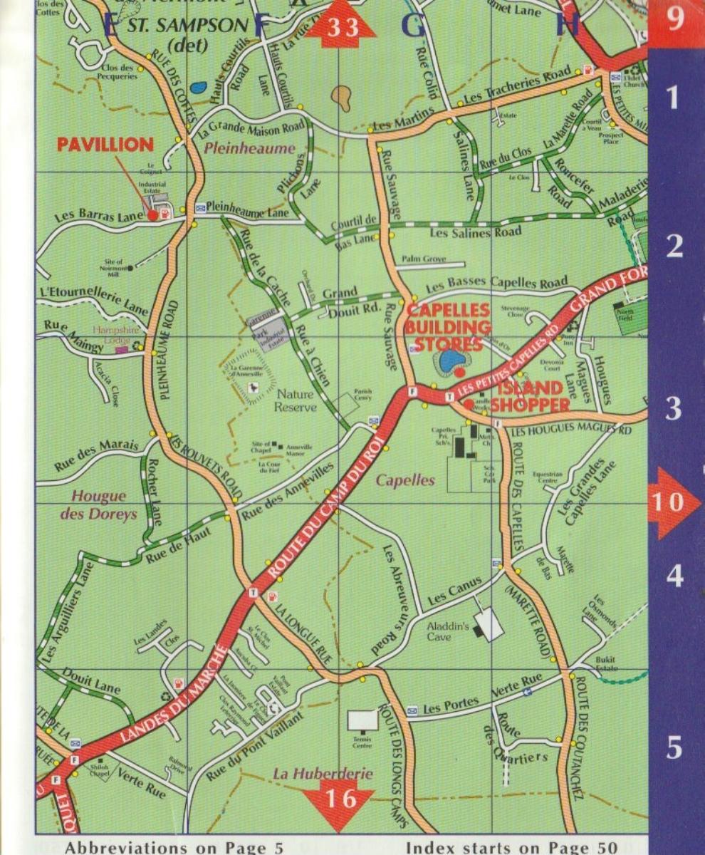
This part of the exhibition deals with old maps. Some maps are ready to be shown to visitors now: Blaeu's map of 1665 and an old map of Guernsey that is no longer protected by copyright. Other maps — by Wolfe, Mercator and Moll — are still only hoped-for additions: they cannot be shown until the exact printed plate, the picture quality and the permission to use them have been checked. A future map layer, called the Cadastre overlay, will be a new interpretive work; a cadastre is the modern official register that records every piece of land and who owns it, and the overlay will clearly separate three things: boundaries that are documented in records, historical labels, and interpretive markings added on top of the map.
The maps in this room are not mere decoration. Each one is presented with its date, its maker, where it came from, the terms on which it may be used, and what it can prove. Visitors can build up, layer by layer, pictures of the island made in different centuries, while keeping them clearly apart from the modern cadastre — the official register that records every piece of land and who owns it today.


A map of the Channel Islands, made in 1572 by Reyner Wolfe, is classified TARGET_NOT_PUBLIC for the Anneville museum.
A map of Guernsey and the Channel Islands, made in 1595 by Gerard Mercator, is classified TARGET_NOT_PUBLIC for the Anneville museum.
A map titled 'Sarnia Insula et Insula Caesarea', published in 1665 by Joan Blaeu, is classified READY for the Anneville museum.
A map of the Channel Islands, made in 1724 by Herman Moll, is classified TARGET_NOT_PUBLIC for the Anneville museum.
An old map of Guernsey, drawn after 1757 and before 1859, is classified READY for the Anneville museum.
A cadastre overlay showing the Manor, the Garenne and the fiefs related to them, made between 2023 and 2026, is classified TARGET_NOT_PUBLIC for the Anneville museum.
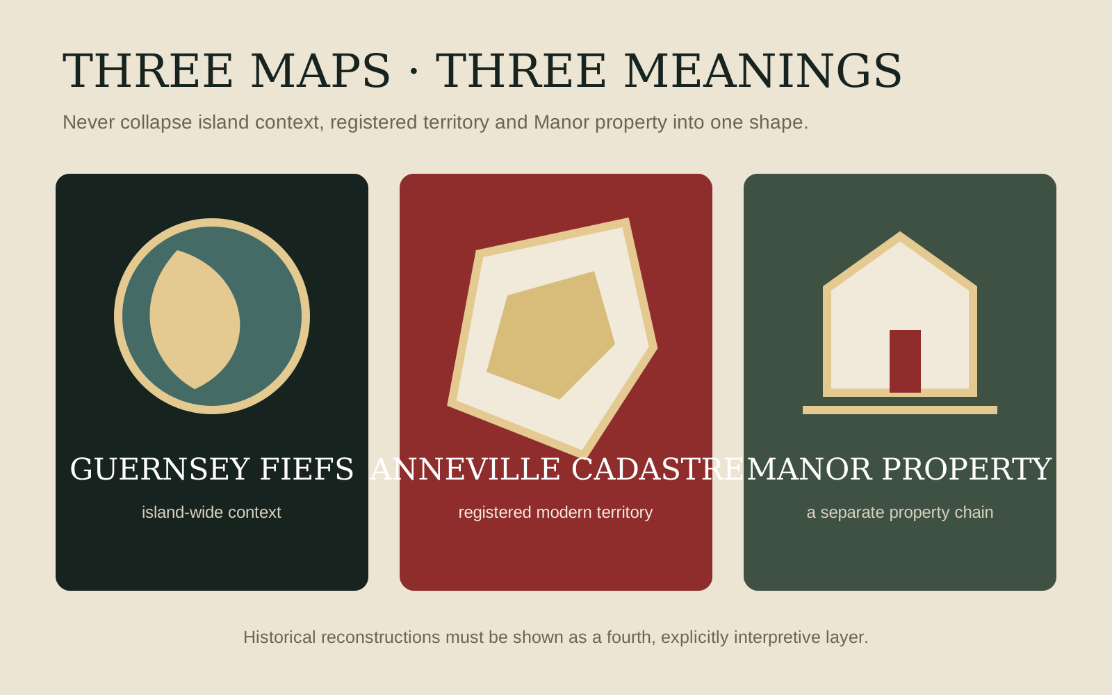
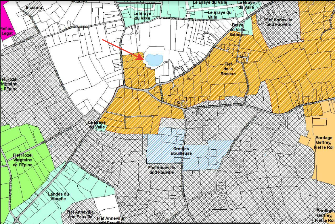
Three cartographic levels are read together: the general map of Guernsey fiefs, Anneville’s cadastral perimeter and the Manor map. The legend always separates island context, registered territory, Manor property and historical reconstruction.
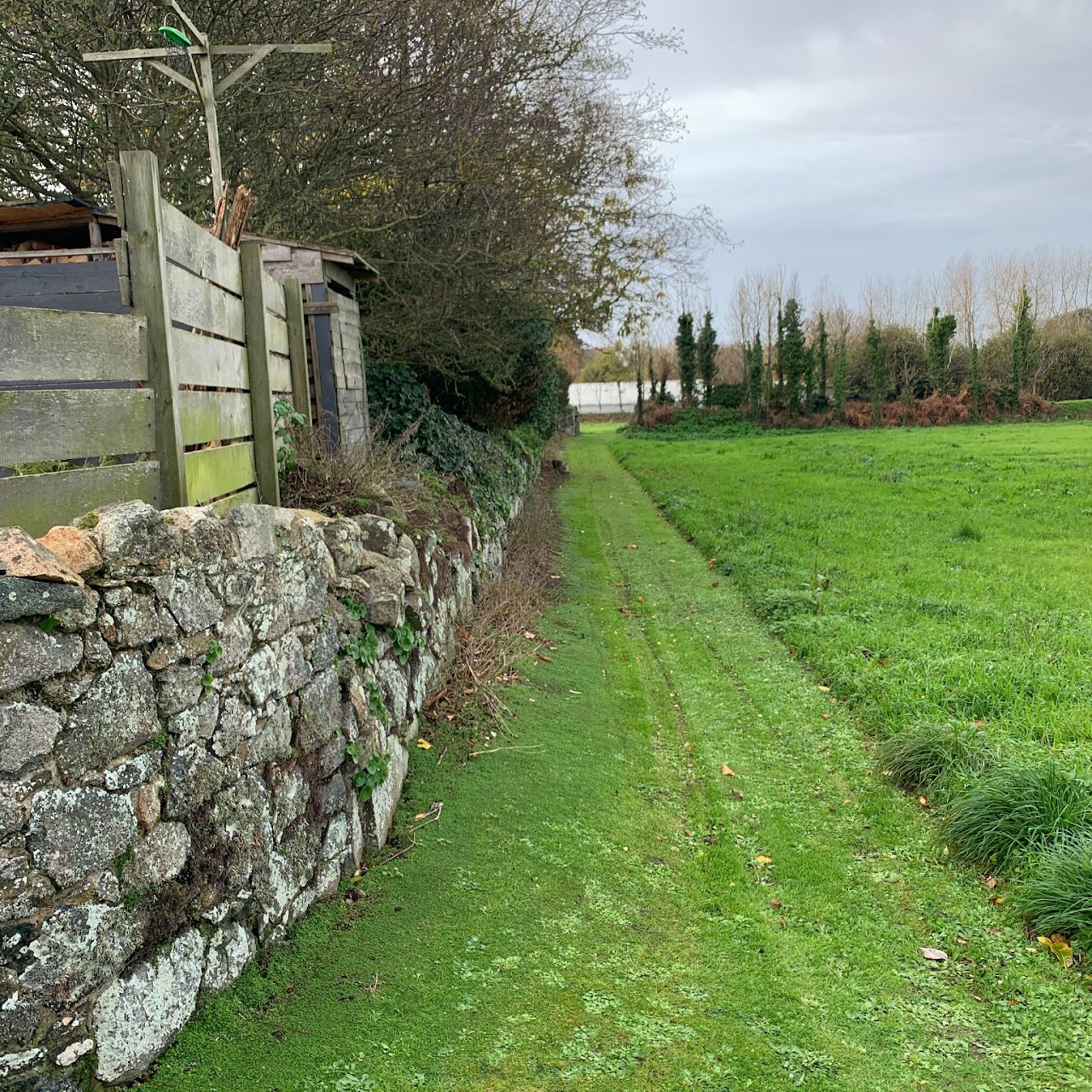 Another part of the Manor grounds, along the old boundary wall.Image · lordofanneville.com · Our territory in Guernsey
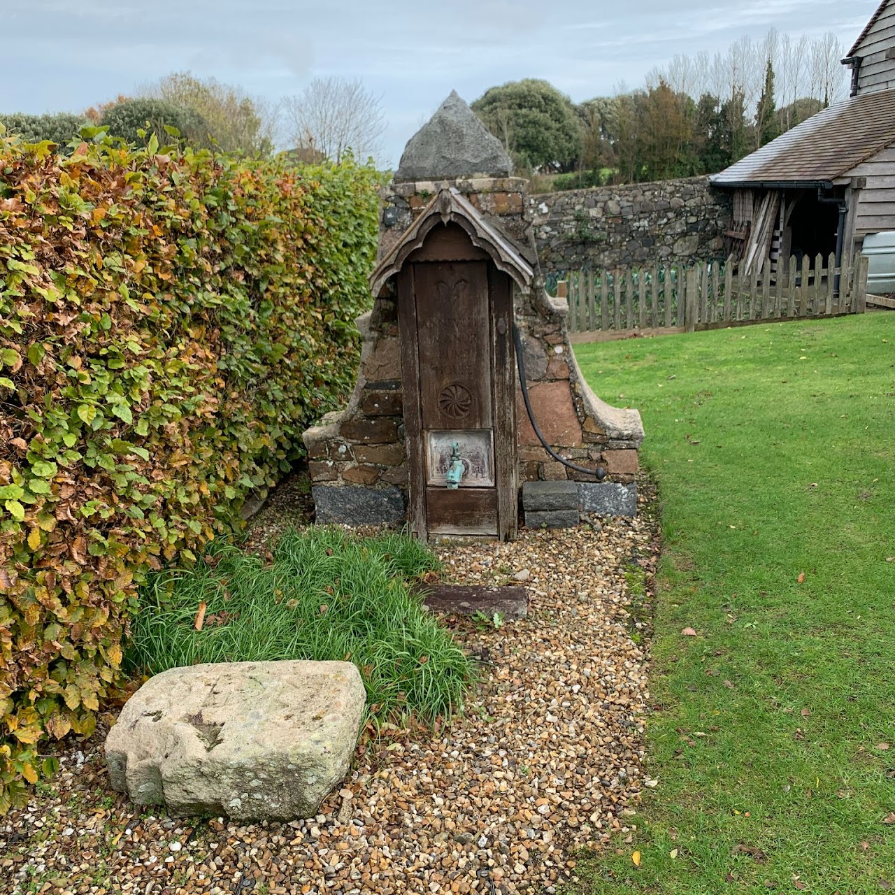 The old pump house. The zone on the left is kept free for a seigneurial right of passage.Image · lordofanneville.com · Our territory in Guernsey
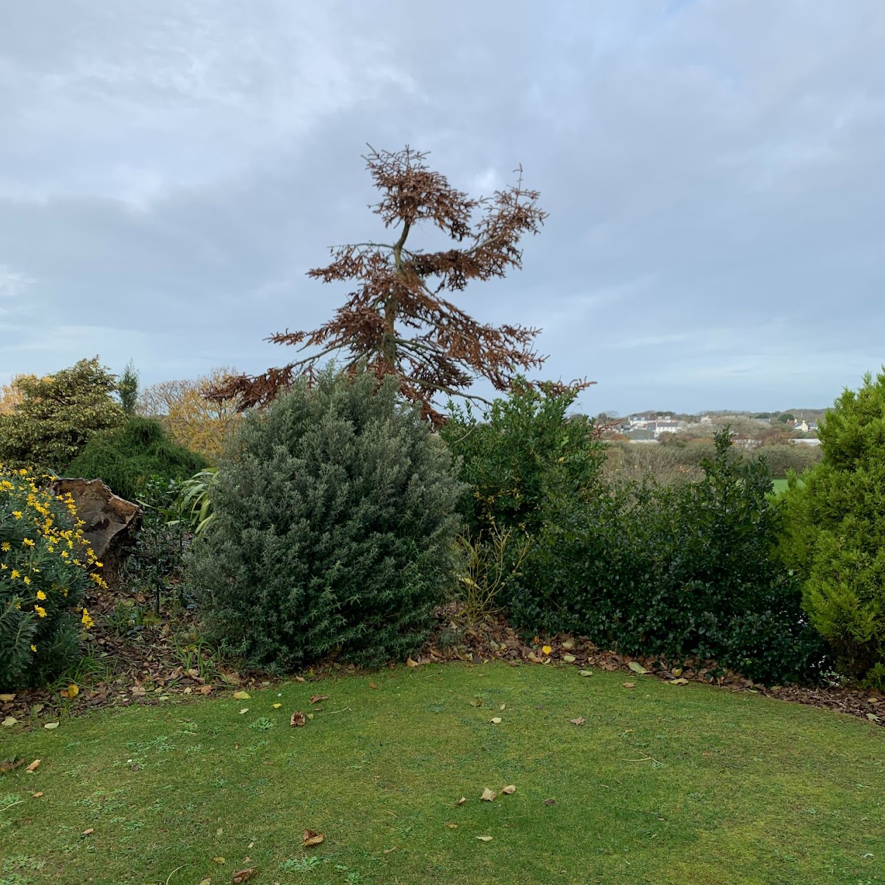 The grounds of the Manor of Anneville looking inland.Image · lordofanneville.com · Our territory in Guernsey
 Ogier dossier on Annevilledocumentmodern research · Open documentMap of the fiefs of Guernseyofficial interactive mapCadastre compilation · Open documentOfficial States of Guernsey Cadastre ArcGIS map — island-wide fief contextAnneville cadastral mapterritorymodern Cadastre · Open documentCurrent registered territorial representationAnneville Manor mapterritorymodern archival map · Open documentManor and property context; distinct from the complete fief
 Fief de Blanchelande: comparative living-fief studycomparative2012 publication · Open documentComparative model only: its practices are not automatically attributed to Anneville21 June 1662, Summons to Douzeniers at the… (AQ 0012/10-06)archive21 June 1662 · Open document21 June 1662, Summons to Douzeniers at the…1663-1829, Extracts from Livre de Perchage of Fief… (AQ 0096/03-02)archive1663 · Open document1663-1829, Extracts from Livre de Perchage of Fief…