Private Documentary Collection of the Fief d’AnnevilleA collection that cannot ordinarily be visited in one place.The deeds and conveyances of the Seigneurie are published here by right of the Fief. The historic documents shown in this museum are long out of copyright, and Guernsey conveyances are matters of public record, passed before the Royal Court. Around them the museum assembles material traced across public archives, specialist libraries, newspaper archives and catalogues — identified, acquired, transcribed and compared. Nowhere else are these documents brought together and read against one another.
Anneville is used as a lens through which the long constitutional, social and cultural history of Guernsey becomes visible.


Anneville: a Norman name still alive
The name Anneville itself links the Cotentin, Guernsey and the surviving Norman language of the island.
Discover the name and Guernésiais →Atrium — how Norman Guernsey worked
Two short, visual rooms explain the fiefs and the customary law that shaped the island before the historical journey begins.

Five ways of knowing Anneville
Choose a thematic route to regroup rooms and documents around a single question.
Documents, maps and private voices
Each thumbnail opens the complete source or the highest-resolution object available to the project.
 de La Chesnaye des Bois - Anneville genealogydocument1770s edition · Open original
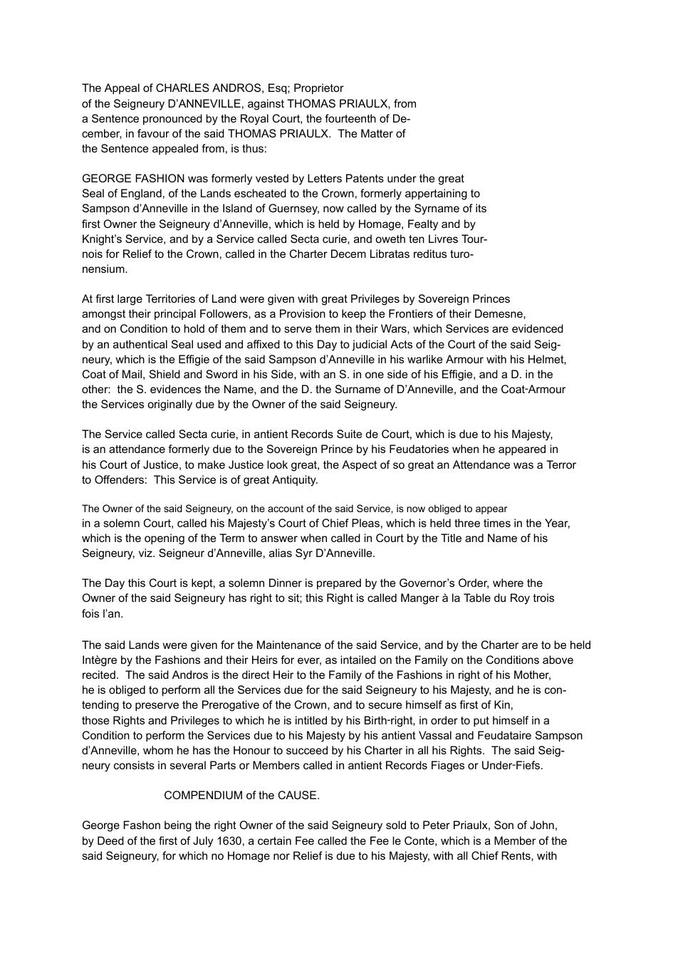 First Andros Appeal - archive copydocument1714 · Open original
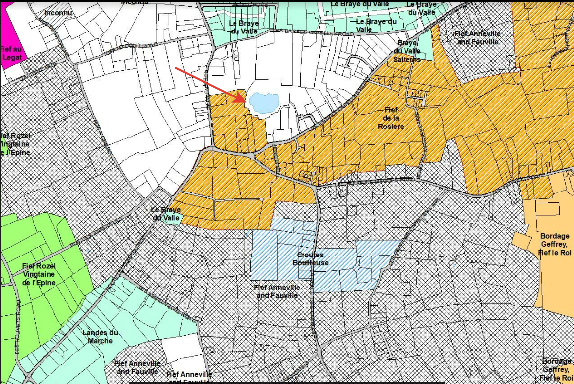
 Map of the fiefs of Guernseyofficial interactive mapCadastre compilation · Open original
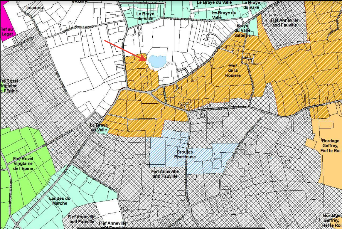 Anneville cadastral mapterritorymodern Cadastre · Open original
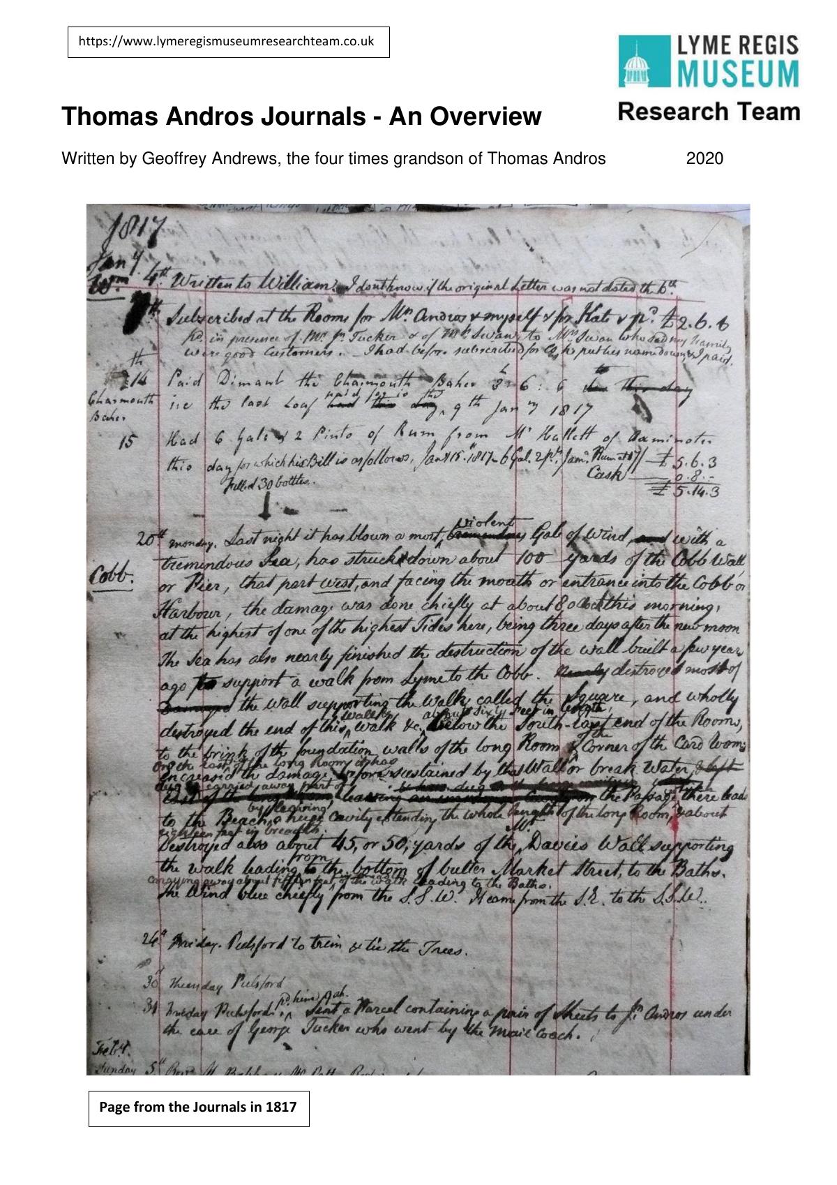 Thomas Andros journals: the Lyme Regis yearsprivate-life1788–1831 / research overview 2020 · Open original
 Fief de Blanchelande: comparative living-fief studycomparative2012 publication · Open original
